

Le Fay and Les Mouterres Mountain Huts - Hike from Singuigneret (Mizoën)
Hard
5h
8.6km
Round trip
+972m
-972m


1 / 3
Description
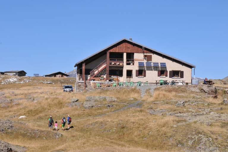
Le Plateau itself is a little piece of heaven, with a wide variety of alpine flowers during June and July, numerous colonies of marmots near the refuge.
TECHNICAL INFORMATION
Starting point: Singuigneret hamlet
Elevation gain: 1,017 m
Duration: 4 hours 50 minutes (ascent) 4 hours 5 minutes (descent)
Distance: 15.75 km
Difficulty: moderate
MAPS AND HIKING GUIDE
OBP Map No. 5 (Oisans au Bout des Pieds): Trail No. 343 (starting from Les Aymes) or Trail No. 344 (starting from Singuigneret).
IGN Top 25 Map No. 3335 ET
ROUTES
To reach the Fay and Mouterres mountain huts from Mizoen, here are two options:
- Starting from the hamlet of Singuigneret, follow the trail that runs along the ridge above Lake Chambon. You’ll reach the Emparis Plateau after passing through the Lovitel Reserve (a peat bog area), the Clôts Shelter (1,540 m), and then the “petrifying fountain” just above 1,800 m. The latter is a waterfall with a curious hydrogeological phenomenon: water from the Emparis Plateau emerges as a spring and flows over a very smooth limestone surface, forming tufa deposits. After the waterfall, the trail continues to climb, then opens onto the Emparis Plateau at Clot du Pertuis (2,178 m), and winds its way up to the mountain huts (2,250 m).
HIGHLIGHTS ALONG THE ROUTE
- The panoramic view above Lake Chambon, the Lake Lovitel nature trail (wetland), the orientation table, the small Clots mountain hut and its eco-museum, and the Petrifying Fountain.
GOOD TO KNOW
The trail toward the Clots mountain hut runs along a ledge with exposed sections.
From the mountain huts, you can continue exploring the plateau either toward Lac Noir and Lac Lérié, or toward the Col St-Georges.
Marking
Yellow PDIPR signs
Red and white GR signs
Map references
IGN Top 25 map n°3335 ET.
