The Tour of the Aiguilles d'Arves with Anne Zanolin


1 / 3
Description
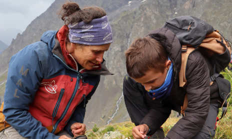
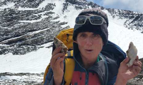
Set out on a 3-, 4-, or 5-day hike around the Aiguilles d'Arves! Explore these diverse landscapes, from alpine meadows to glaciers and rocky terrain. Take advantage of Anne's on-site advice, especially when it comes to geology!
Tour of the Aiguilles d’Arves starting from La Grave (southern section), 3 or 4 days:
hikes with overnight stays in mountain huts, ideal for a family’s first backpacking experience or for a short, athletic, and technically challenging backpacking trip with friends (blue route on the map).
HIGHLIGHTS:
- Access by public transportation from La Grave (or Villar d’Arêne) via Grenoble or Briançon,
- Diverse landscapes including alpine pastures, mountain streams, lakes, and glaciers,
- Option to add a themed day trip as a side excursion,
- Difficulty level fully adjustable to your preferences!
The itinerary:
Day 1: La Grave to the Pic du Mas de la Grave refuge:
mini* 650m elevation gain, 6 km distance, or much more!
Day 2: Pic du Mas de la Grave Refuge to Goléon Refuge:
minimum* elevation loss 300m, elevation gain 900m, distance 15 km, or more!
Day 3: Goléon Refuge to La Grave:
minimum* elevation loss 1,000m, distance 8 km, or much more!
Optional Day 4: an extra night in a mountain hut to climb a 3,000-meter peak, explore a glacier, meet the shepherdess and her flock, or take a leisurely stroll to discover the area’s ecology, botany,
and geology.
*“mini” = elevation gain (D+), elevation loss (D-), and distance (d) for the easiest route.
5-day alternative:
Day 1: La Grave (Valfroide) to the glacier and Goléon Refuge:
D+ elevation gain, D- elevation loss, d. distance
D+ 1,200 m, D- 600 m, d. 12 km
Day 2 Goléon Hut to Aiguilles d’Arves Hut:
Elev. gain: 1,200 m, Elev. loss: 1,100 m, Distance: 15 km
Day 3: Aiguilles d’Arves Refuge to Pic du Mas de la Grave Refuge:
Elev. gain: 1,300 m, Elev. loss: 1,500 m, Distance: 18 to 20 km!
Day 4: Pic du Mas Refuge to Valfroide:
Elevation gain: 700 m, elevation loss: 800 m, distance: 16 km
Optional Day 5: an extra night in a mountain hut to climb a peak OR in a guesthouse to shorten the duration of Day 3.
Optional Days 5–6: 2 days of hiking and one night at the Chancel Refuge, to reach the Girose Glacier on foot
This trip is reserved for hikers with good stamina who are capable of ascending and descending steep slopes off-trail
Princing
Fee: from 305 €.