

Encoula climbing site—start at the La Bérarde Tourist Office

1 / 2
Description
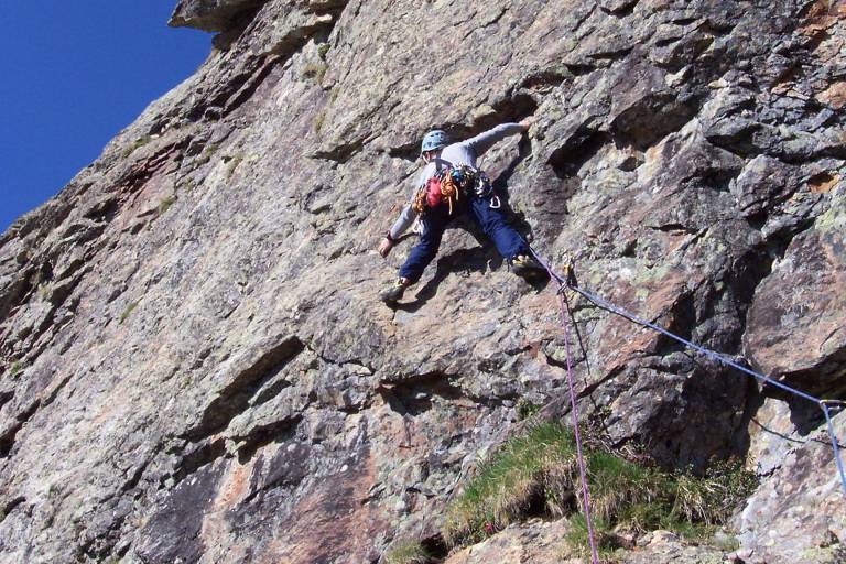
The Barfly sector is 20 minutes away via a steep slope. Sometimes dense vegetation. The route starts on the left almost as soon as the path reaches the foot of the cliff (18 engraved on the rock, no paint).
Pedestrian access St Christophe :
At the foot of the Venosc gondola, walk down to the Bourg d'Arud bridge and join the path to Plan du Lac. At the white-water base, follow signs for Le Puy / Saint Christophe en Oisans.
On leaving St Christophe, follow Pré Clot, then Champhorent. Take the road to the municipal campsite. Cross the bridge and follow the path to La Bérarde.
Please note: access to and visits to La Bérarde (Saint-Christophe-en-Oisans) are strictly forbidden until further notice > Saint-Christophe-en-Oisans municipal by-law, dated 22/06/2024.
Massif: Ecrins
IGN map: 3436 ET
Altitude: 1900 m
Direction: north-east
Approach time: approx 30mns
Favourable period: spring to autumn
Rock: gneiss
Number of routes: 15
Minimum track height: 60 m
Maximum route height: 300 m
Practice level: rated from 3 to 7a
Climbing style: slightly steep rock slabs
Equipment: impeccable equipment, but quite remote on 5a and 5b slabs.
HIKING IN THE HEART OF THE ECRINS NATIONAL PARK
The Écrins massif is an exceptional area, open to all, with a rare natural, cultural and landscape heritage. To protect these treasures, the heart of the park is marked with blue-white-red painted flags, where regulations must be respected. Please take note of them when planning your hike to preserve this collective asset on the ecrins-parcnational.fr website.
Princing
Additional information
Spoken languages
Equipements
Pets
Pets not allowed
See also...